
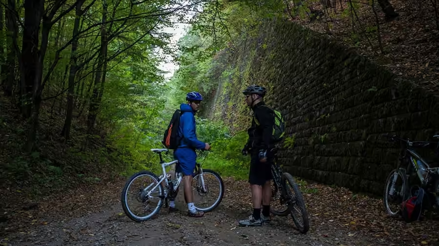
Cycle route
Štreka
A railway line begun in 1940 and never finished. We are turning it into a route you can spend a whole day on — out and back.
Where the name comes from
The Gemer connecting lines are not our invention. That was the name of the railways meant to join up the valleys of Gemer after the Vienna Award — each of them had been left cut off, running in its own direction. Two were started: Tisovec – Revúca and Lubeník – Slavošovce.
Work began in 1940. Tunnels were bored, embankments raised, bridges concreted. In the summer of 1944 the Uprising stopped the work; after the war it started up again briefly and ended for good at the close of 1948. A continuous line was never completed and no train ever ran on the connecting lines.
What they left behind still stands today. A two-kilometre tunnel under the Dielik saddle, the Slavošovce tunnel roughly 2.4 km long, the Kopráš tunnel 245 metres long, and a concrete viaduct 36 metres above the valley. And kilometres of ground that someone once levelled flat. Locals call it the štreka.
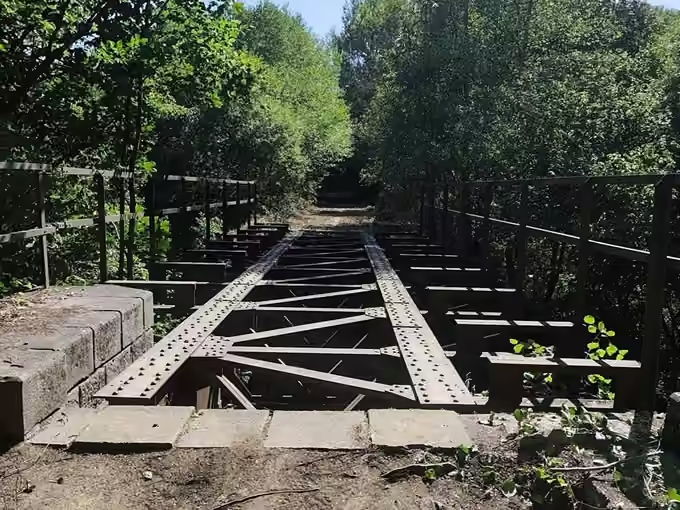
For eighty years a finished line has been lying in this landscape, almost level, following the valley along the river. It only needs finishing in a different way than was originally meant.
What it looks like today
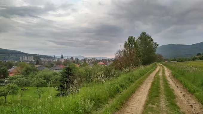
Some stretches are passable and people walk them. Others are so overgrown that only someone looking for the line knows it is there. In places the earthworks have been ploughed up, in places a field track runs along them, elsewhere the forest has taken them back.
Some of it already serves people. Both the Slavošovce and the Kopráš tunnel are freely accessible and a cycle route leads to them. From Revúca the Gemer Green Way educational trail follows the earthworks; it opened in 2016. But these are separate pieces with no link between them.
We want to turn that whole line into one continuous surfaced route — from Tisovec through Muráň and Revúca to the Slavošovce tunnel. Four metres wide, no cars, with a surface a pram and a road bike can both handle.
Who we are building it for
This is not a racing route. It is a way an eight-year-old and an eighty-year-old can both take.
Children and families
No cars, no climbing, a wide surface. A child can ride beside a parent instead of behind them in a line along the verge.
Older people
Level ground and a firm surface mean you can go slowly and go far. With walking poles or on an e-bike.
A full day out
The route makes sense in both directions. Set off from Revúca up towards Muráň or down to the tunnels and come back the way you came — with a different view.
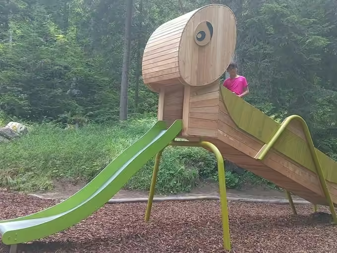
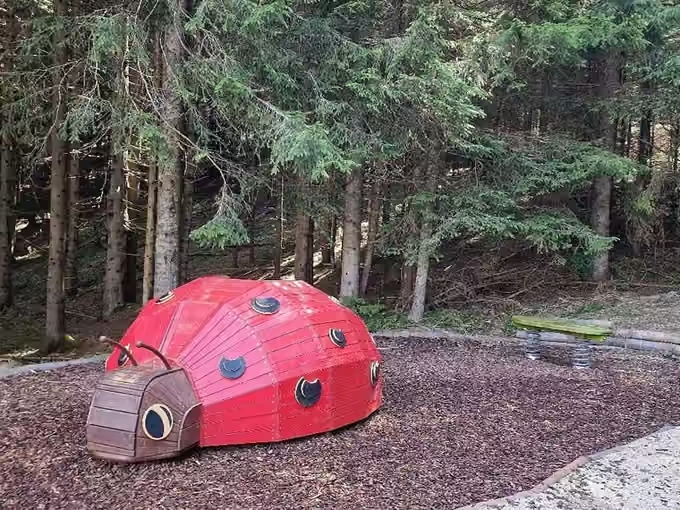
We want to place more stops like these along the route. A reason for children to go further, a reason for parents to take a break.
The route joins three districts
Today the valleys are separated by hills and the way between them runs along the main road. Štreka will join them the way the railway originally intended.
Historical information on the building of the connecting lines: vlaky.net and naucnechodniky.eu.